
Last Updated on June 17, 2026 by Blake Turner
Are you ready to take control of your outdoor adventures and never lose your way again? Land navigation training is the key skill you need to confidently find your path, whether you’re hiking, camping, or exploring unfamiliar terrain.
This training will sharpen your ability to read maps, use a compass, and understand your surroundings like a pro. Imagine the freedom and safety that come with knowing exactly where you are and where to go next. Keep reading to discover how land navigation training can transform the way you explore the outdoors—and why it’s a must-have skill for you.
Credit: www.minneapolis.afrc.af.mil
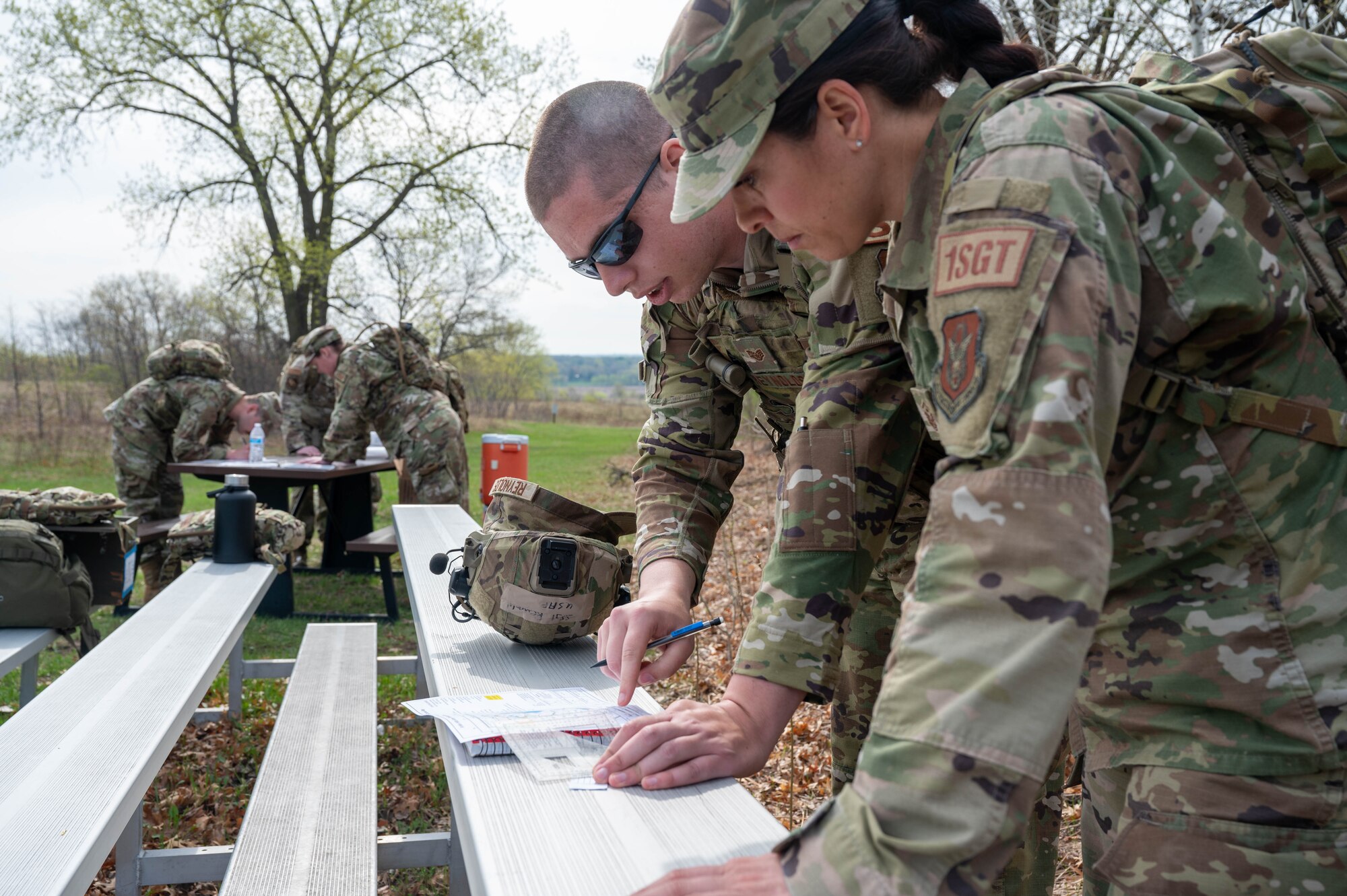
Basic Navigation Tools
Land navigation is an important skill for outdoor activities. It helps you find your way in new places.
Using the right tools makes navigation easier and safer. Basic tools include a compass, maps, and GPS devices.
Using A Compass
A compass shows directions using a magnetic needle. It points to the magnetic north.
Hold the compass flat and turn the dial to set your direction. Use it to find bearings and stay on course.
- Keep the compass away from metal objects
- Use the orienting arrow to align with the map
- Check your bearing regularly
Reading Topographic Maps
Topographic maps show the shape of the land with contour lines. They help you see hills, valleys, and rivers.
Read the map key to understand symbols. Use the scale to measure distances between points.
- Contour lines close together mean steep terrain
- Water is shown in blue
- Man-made features use black or red symbols
Gps And Digital Aids
GPS devices use satellites to find your exact location. They give real-time directions and track your route.
Digital maps can store many details. They help you plan routes and avoid getting lost.
- Make sure the device is fully charged
- Download maps before going offline
- Use GPS as a backup, not the only tool

Credit: graybeardedgreenberet.com
Route Planning Techniques
Land navigation training teaches how to plan routes carefully. Good route planning helps you move safely and efficiently.
Using maps, compasses, and terrain knowledge improves your travel. Planning routes reduces chances of getting lost.
Choosing The Best Path
Pick a path that is safe and easy to follow. Avoid steep hills, thick forests, and dangerous areas.
Look for clear trails, roads, or natural landmarks. Choose routes that save energy and time.
- Use open areas for better visibility
- Avoid water obstacles if possible
- Select paths with fewer natural barriers
Estimating Distances And Time
Estimate how far you will travel by using map scales. Measure distance between points with a ruler or string.
Calculate travel time based on terrain and your walking speed. Add extra time for rough or steep areas.
- Flat ground: 4 to 5 km per hour
- Hilly terrain: 2 to 3 km per hour
- Dense forest: 1 to 2 km per hour
Recognizing Terrain Features
Identify hills, valleys, rivers, and roads on the map. Use these features to guide your route.
Terrain features help you check your position during travel. They also show obstacles and safe paths.
- Hills appear as closed circles on maps
- Rivers and streams show as blue lines
- Valleys often have rivers or roads
- Flat areas have fewer contour lines
Practical Navigation Skills
Land navigation training helps you find your way using maps and natural signs. These skills are important for hiking, camping, and emergency situations.
Learning practical navigation skills makes you confident in unfamiliar places. You will learn to read maps and use a compass correctly.
Pacing And Timing
Pacing means counting your steps to measure distance. It helps you estimate how far you have walked without a GPS.
Timing your pace keeps you on schedule. You can predict how long it takes to reach a point by knowing your walking speed.
- Count your steps for 100 meters to find your pace count
- Use a stopwatch to check how long you take to walk set distances
- Adjust your pace for rough or steep terrain
Orienting Maps In The Field
Orienting a map means matching it to the land around you. This helps you see where you are and where to go.
Use a compass or natural features like the sun and landmarks to turn the map correctly. Always keep the map flat and easy to read.
- Place the compass on the map and rotate the map until the compass needle points north
- Look for rivers, roads, or hills to match map details with the real world
- Check your position often to stay on track
Navigating In Low Visibility
Low visibility happens in fog, heavy rain, or darkness. It makes it hard to see landmarks or the path ahead.
Use a compass and map to keep your direction. Move slowly and carefully to avoid hazards.
- Trust your compass to maintain a straight line
- Mark your path with small signs or natural markers
- Stop often to check your position and adjust your route
Credit: www.dvidshub.net
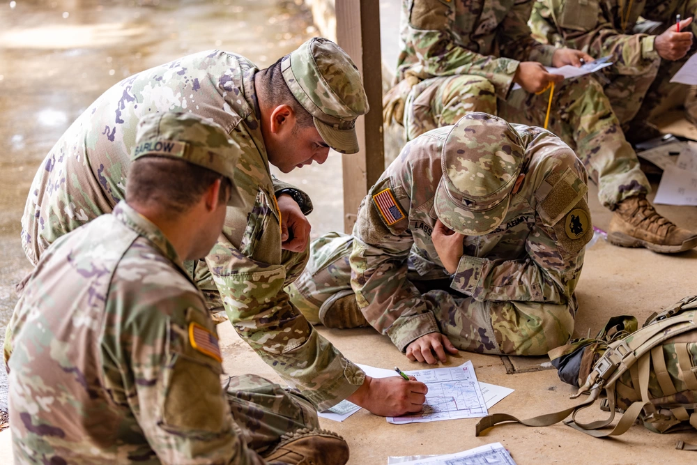
Common Challenges And Solutions
Land navigation training helps people find their way in the outdoors. It can be hard because of many challenges.
Knowing common problems and how to fix them makes navigation easier and safer.
Handling Unexpected Obstacles
Obstacles like fallen trees or rivers can block your planned path. You must find new ways to continue safely.
Stay calm and look for landmarks to help you choose a different route. Avoid risky shortcuts.
- Stop and assess the obstacle
- Use your map and compass to find a detour
- Mark your original path to return if needed
- Keep a steady pace to avoid getting lost
Correcting Course Errors
It is easy to make mistakes in direction. Check your location often to catch errors early.
If you notice a mistake, stop and use your tools to find your exact position. Adjust your path as needed.
- Use landmarks to verify your location
- Check compass bearing regularly
- Compare your map with the surroundings
- Backtrack to a known point if lost
Safety Tips For Navigation
Safety is important in land navigation. Prepare well and stay aware of your environment.
Carry necessary gear and tell someone your plan before you go out.
- Bring a map, compass, and GPS device
- Wear proper clothing and boots
- Carry water, food, and first aid kit
- Inform someone about your route and return time
- Know the weather forecast
Frequently Asked Questions
What Is Land Navigation Training?
Land navigation training teaches you to find your way using maps and compasses. Essential for outdoor activities.
Why Is Land Navigation Important?
It helps you avoid getting lost. Essential for hikers, campers, and adventurers. Increases safety outdoors.
What Tools Do You Need For Land Navigation?
You need a topographic map and a compass. A GPS can also help. Always bring a pencil.
Can Beginners Learn Land Navigation Easily?
Yes, with practice. Start with basic skills. Gradually take on more challenging routes. Patience is key.
Are There Online Resources For Land Navigation?
Yes, many websites offer tutorials. Videos and guides are available. Practice with maps and compasses offline.
Conclusion
Land navigation training builds important skills for outdoor safety. It helps you read maps and use a compass with confidence. Practice makes you better at finding your way in nature. These skills can keep you safe during hikes or trips.
Staying calm and focused is key to success. Keep training often to stay sharp and ready. This knowledge is useful for many outdoor activities. Start small, learn step by step, and enjoy the journey.